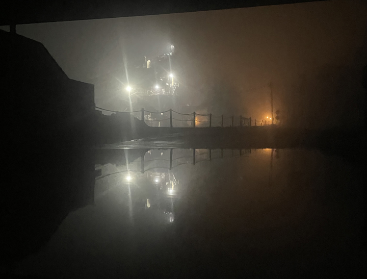
Friday’s downpour saw river levels rising in Indiana. Montpelier’s stone quarry is no stranger to rising flood waters. By Sunday the high water sign was placed at the top of East Cummins Road where it intersects with Blackford County road 500E. Cummins Road runs next to the river and the road under the railroad tracks floods nearly every year. The spot is known to frequently trap cars of drivers who fall victim to the illusion that the water is not as high as it seems. (Photo by Carrie Penrod)


